
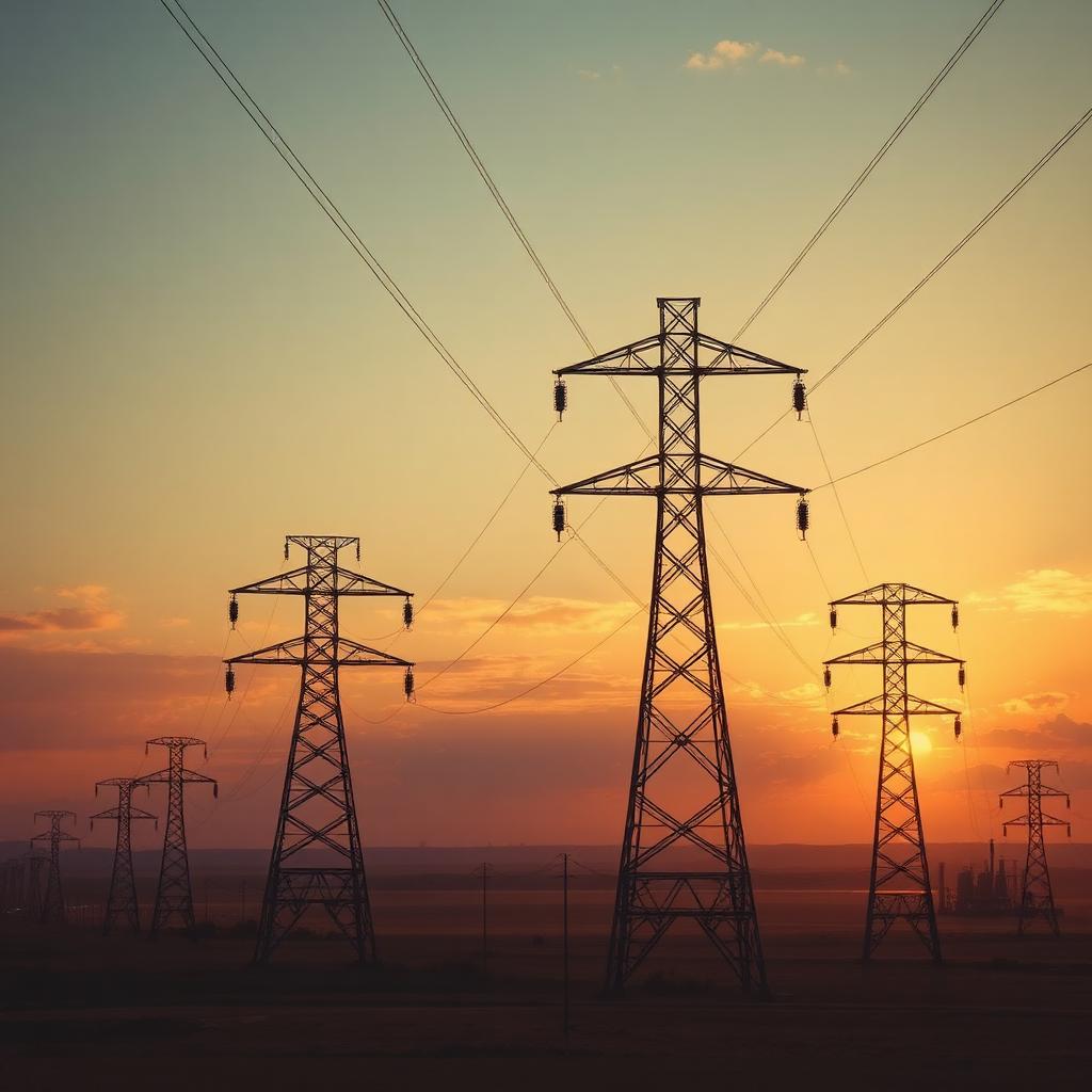
Verified sensor data for energy and industry.
Calibrated multi-sensor data for inspection, digital twins, mapping, and monitoring across off-highway and industrial environments. The same verified stack behind autonomy, brought to the assets and sites your operation runs on.
A different industry, the same Physical AI problem.
Inspection, digital twins, mapping, and autonomous equipment all depend on the same thing autonomy does: calibrated, verified, provenanced sensor data. The asset and the environment change, the problem underneath does not.
This is a newer domain for us, and we approach it the way we approach every program: clean capture, multi-sensor calibration, human-verified labels, and an audit trail you can trace back to the sensor. The standards differ by sector. The rigor does not.
For energy teams.
Verified sensor data for inspecting assets, building digital twins, and monitoring infrastructure across the energy landscape.
Asset and infrastructure inspection
Labeled multi-sensor data for inspecting pipelines, power lines, towers, and plants, so defects and anomalies are found in the data, not after a failure.
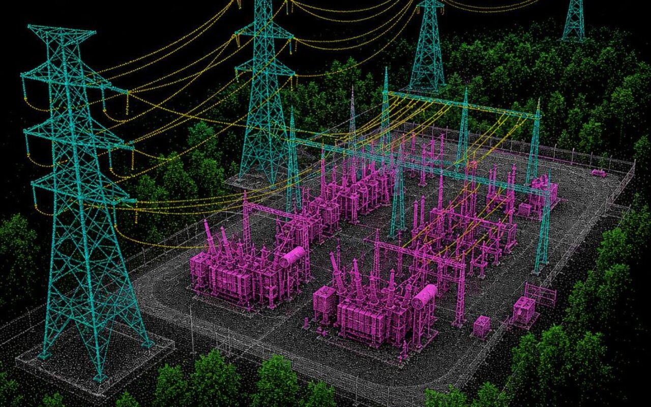
Digital twins from fused sensor data
Calibrated LiDAR and camera data fused into high-fidelity digital twins of real assets and sites, accurate enough to plan, simulate, and maintain against.
Predictive monitoring
Verified, time-aligned sensor data that tracks how an asset changes over time, the foundation for spotting drift and predicting maintenance before it bites.
For mapping, survey, and off-highway autonomy.
Survey-grade capture, segmentation, and validation for the machines and sites that move the physical world.
Mapping and survey
Survey-grade LiDAR and segmentation for large-scale mapping of sites, terrain, and infrastructure, with calibration that holds across long collection runs.
Mining and construction equipment
Calibrated multi-sensor data and object labeling for off-highway machines working in dust, vibration, and clutter, where perception has to stay reliable.
Agricultural automation
Verified data for machines that navigate fields and rows, telling crop from obstacle so autonomous and assisted equipment works the land safely.
Maritime and aerospace
Multi-sensor calibration and labeling for vessels and aircraft, bringing the same verified rigor to perception built for water and air.
One chain, sensor to verified result.
Every step carries forward, so the data you build a twin or train a machine on traces all the way back to the sensor.
Hardware-synchronized capture brings LiDAR, camera, IMU, and GNSS into one place with provenance from frame zero.
Self-calibration locks every sensor to sub-pixel accuracy and holds it across long survey runs, so fused maps and twins stay true.
Point-cloud segmentation and 3D labeling on calibrated data, AI-assisted and human-verified at 98.6% first pass and 99.5% after full QA.
Coverage scoring and an immutable audit trail across the data behind an inspection or mapping program.
Rigor that carries into every sector.
Questions from energy and industrial teams.
Which sensors does Deepen AI support for energy and industrial inspection?+
Can you build digital twins from our existing scans?+
How do you handle off-highway and industrial calibration?+
Energy and industrial work is newer for Deepen AI. How do you approach a program here?+
How is the data labeled, and how accurate is it?+
Can you support predictive monitoring across an asset's life?+
Bring verified data to your environment.
Tell us the assets you inspect, the sites you map, or the machines you run. We'll show you the verified stack behind data you can build on.